A full-color cloth map of Quebec City, including surrounding waterways, fortifications, and the disposition of American and Canadian forces during the winter siege of late 1775 to early 1776.
This large 35 × 26.5 inch cloth map is printed on a crease-resistant cotton-polyester blend. The map makes a great wall hanging and serves as a possible companion piece to the introductory adventure in the Nations & Cannons Core Rules; where players join the ill-fated Patriot expedition to invade Canada along with Ethan Allen. The fabric is machine washable and iron-safe on low heat settings.
Original document titled "Plan of the city and environs of Quebec: with its siege and blockade by the Americans, from the 8th. of December 1775 to the 13th. of May, 1776," created by William Faden.
All purchases come with a QR code link to download the Colonial Gazette PDF, including a 4-page annotated version of this map with additional information about the city’s history, inhabitants, and role in the American Revolution.
This design is sourced from a historical artifact which contains blemishes and imperfections, painstakingly restored and upsampled. The printing process transfers this image onto blended fabric using eco-friendly, water-based inks. Cloth map is cut and hemmed by hand and may experience minor shrinkage.


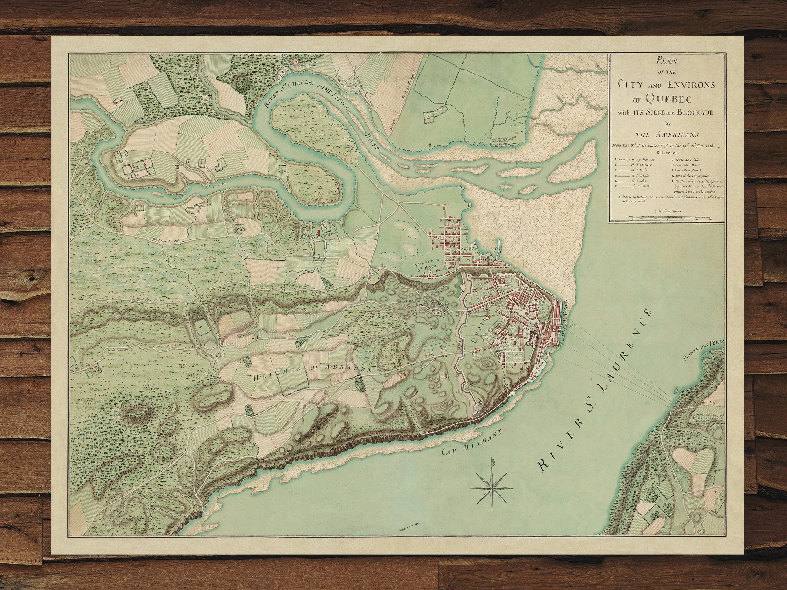 Image 1 of 1